Subsidence Detection
Radaz | Mining / Dams
Share:
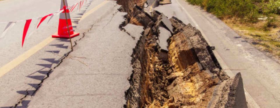
Subsidence is the sinking or lowering of land, usually caused by excessive extraction of groundwater, mining, oil and gas extraction, or construction activities. This phenomenon can present significant hazards, including structural damage to buildings, rupture of underground pipes, subsidence of roads and facilities, as well as the possibility of flooding in coastal areas due to rising sea levels. Subsidence is an environmental and safety concern that requires appropriate monitoring and mitigation measures.
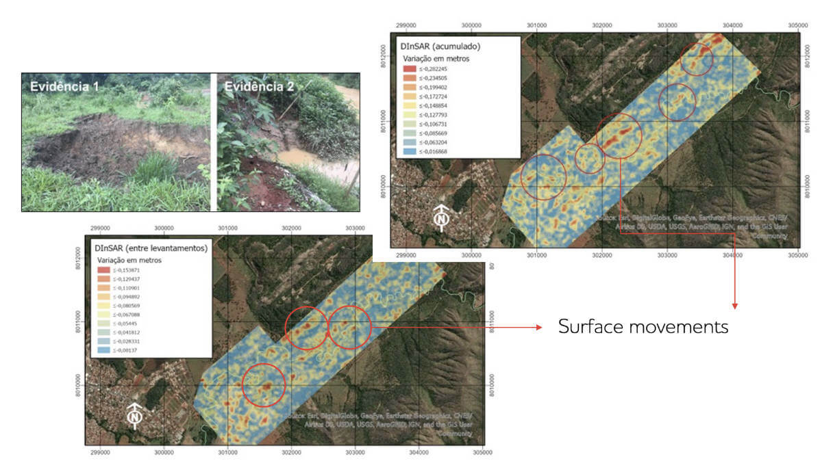
Considering this, Radaz carried out a service in 2019 and 2020 in Vazante, Minas Gerais, to monthly monitor a mine site that was close to a city and was suffering from subsidence.

The measures were validated by the IPT (Institute for Technological Research) and detailed information about the technology for this type of application, as well as the case study in question, are available in the following articles:
Luebeck, D.; Wimmer, C.; F. Moreira, L.; Alcântara, M.; Oré, G.; A. Góes, J.; P. Oliveira, L.; Teruel, B.; S. Bins, L.; H. Gabrielli, L.; Hernandez-Figueroa, H. E. Drone-borne Differential SAR Interferometry. Remote Sens. 2020, 12, 778.
A. Natale, P. Berardino, C. De Luca, C. Esposito, C. Gamba, R. Lanari, D. Luebeck, M. Manzo, L. Moreira, C. Wimmer, S. Perna, “Satellite and drone- borne Synthetic Aperture Radar data for ground deformation monitoring over the Vazante area (Brazil)”, SPIE 21, Germany, 2021.


