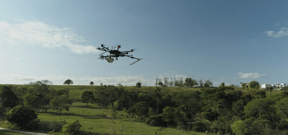
You have already chosen our radar. The next step is to decide which flight type is ideal for your business

If you’ve realized that Radaz radar is what your company needs to reach new heights, the next step is to choose which of the two types of flights best suits your operations. The investment in the monitoring system directly depends on the chosen flight type. This is because each has a specific yield and a coverage time suited for particular areas. Below, you’ll get to know each of them. The two types of Radaz flights We present the two available flight types: helical and linear. Each one is ideal for different coverage and depth needs. Helical flight: ideal for detailed analysis of smaller...

Continue reading

Articles

ARTICLES A DRONE-BORNE MULTIBAND DINSAR: RESULTS AND APPLICATIONS L. Moreira et al., "A Drone-borne Multiband DInSAR: Results and Applications," 2019 IEEE Radar Conference (RadarConf), 2019, pp. 1-6, doi: 10.1109/RADAR.2019.8835653. CROP GROWTH MONITORING WITH DRONE-BORNE DINSAR Oré, G.; Alcântara, M.S.; Góes, J.A.; Oliveira, L.P.; Yepes, J.; Teruel, B.; Castro, V.; Bins, L.S.; Castro, F.; Luebeck, D.; Moreira, L.F.; Gabrielli, L.H.; Hernandez-Figueroa, H.E. Crop Growth Monitoring with Drone-Borne DInSAR. Remote Sens. 2020, 12, 615. https://doi.org/10.3390/rs12040615 ...

Continue reading

ESG

ESG Environmental, Social and Governance Radaz technology collaborates in the Materiality Matrix of companies committed to the 2030 Agenda, especially with regard to the sustainability of planted and native forests, directly increasing the absorption of CO2 equivalent. In agriculture, Radaz can monitor and predict the best time to harvest some crops, such as sugarcane. In addition, it can monitor the growth of tubers in a non-invasive way. Based on these characteristics and many others, we affirm that Radaz has a green technology that contributes intensively to the sustainability of the pla...

Continue reading

Innovation and Technology

INNOVATION AND TECHNOLOGY SAR, or Synthetic Aperture Radar, is a powerful technology that uses electromagnetic waves to obtain high-resolution two- and three-dimensional images of the Earth's surface and subsurface. Unlike optical sensors, SAR can see through clouds, fog, darkness, vegetation and underground, making it a valuable tool for a wide range of applications in the environment, agriculture, civil protection, mining and smart cities. By sending pulses of electromagnetic energy and measuring their reflections, SAR can study vegetation cover, the surface and subsurface and provide information...

Continue reading

Participations

PARTICIPATIONS PIPE fase 2 (2018) PITE (2019) PIPE Empreendedor (2019) Working Groups Detection of Anthills with drone-borne radar, formed by Klabin, UNICAMP, IFMT, UNICENTRO, DEN/UFLA and Radaz Detection and classification of insects with ground radar, formed by ESALQ/USP, UNICAMP, Anáhata and Radaz CPTEn, UNICAMP, Smart Cities, formed by UNICAMP, CPFL and Radaz

Continue reading